Valdobbiola Pass, from Tschemenoal

Edited by:
Massimo Martini
Updated at: 22/11/2026
Access
Road directions
Leave the [A5] motorway at the Pont-Saint-Martin exit and turn right. After 100m, you will come to the first roundabout: take the second exit and continue on the . After 350m, at the second roundabout, take the third exit onto the towards the Gressoney Valley. Follow the for 26.8 km (27.2 km), passing through the villages of Lillianes, Fontainemore, Issime, Gaby and Gressoney-Saint-Jean. Turn right to stay on the and continue for a further 2.2 km (29.4 km) to the hamlet of Tschemenoal.
Car park
Just beyond the hamlet of Tschemenoal, at the side of the road, there is a free 🅿️ car park, which is the starting point of the route.
Access by public transport
The location is served by public transport. For up-to-date timetables and routes, visit aosta.arriva.it.
Distance and journey time
🕒 Journey time: 41 minutes
📏 Distance: 30.2 km
GPS navigation
Important information
The directions provided were verified on the date the route was mapped. Before setting off, we recommend checking for any changes to the route or road conditions. For up-to-date information, please consult Google Maps or Apple Maps.
Introduction
A linear route in the Lys Valley which, starting from Tschemenoal, north of Gressoney-Saint-Jean, climbs up the left-hand side of the valley to the Valdobbiola Pass, a mountain pass on the watershed with Valsesia.
The ascent passes through the Walser villages of Rong and La Madeleine, enters the woodland and continues through the mountain pastures of Tenegaveno, Valdobbiola and Schenebile, in the valley of the Ebiolabach stream. Beyond the last mountain pasture, the path leaves the grazing land behind and crosses grassy, stony ground, skirting a small lake before reaching the pass, which overlooks the Valsesian side.
The route follows a signposted path throughout and does not feature any technical sections. The gradient is steep in the woods and on the final stretch below the pass, where the terrain is more uneven.
Description
0h00' 0.00km From the car park, follow the tarmac road that climbs towards the hamlets of Rong and La Madeleine, until you reach the start of the path.
0h12' 0.48km Take the path, which climbs steeply through the woods and passes the hamlets of Gruebe and Stafelte. Beyond the tree line, continue across the pastures, passing the mountain pastures of Tenegaveno (2,177m) and Valdobbiola (2,210m). Cross the Ebiolabach stream and reach the Schenebile mountain pasture (2,312m), where the path forks.
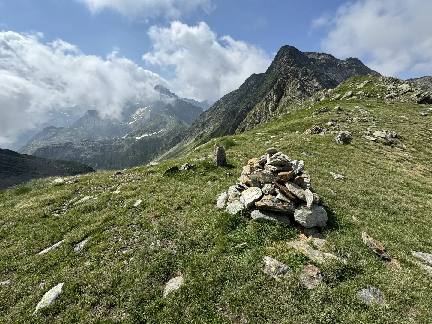
2h17' 3.38km (895 m ascent) (9 m descent) Ignore path , which heads for Passo dell’Alpetto, and follow path towards the pass. The path leaves the mountain pastures and climbs steadily up a grassy, stony slope. On the final stretch, which is steeper and more uneven, walk alongside a small lake to reach the Passo di Valdobbiola (2,635m) 3h12' 5.10km .
The return journey follows the same route taken on the ascent 1h50' 10.24km (9 m elevation gain) (1,227 m elevation loss).
Comments (0)
Sign in to leave a comment